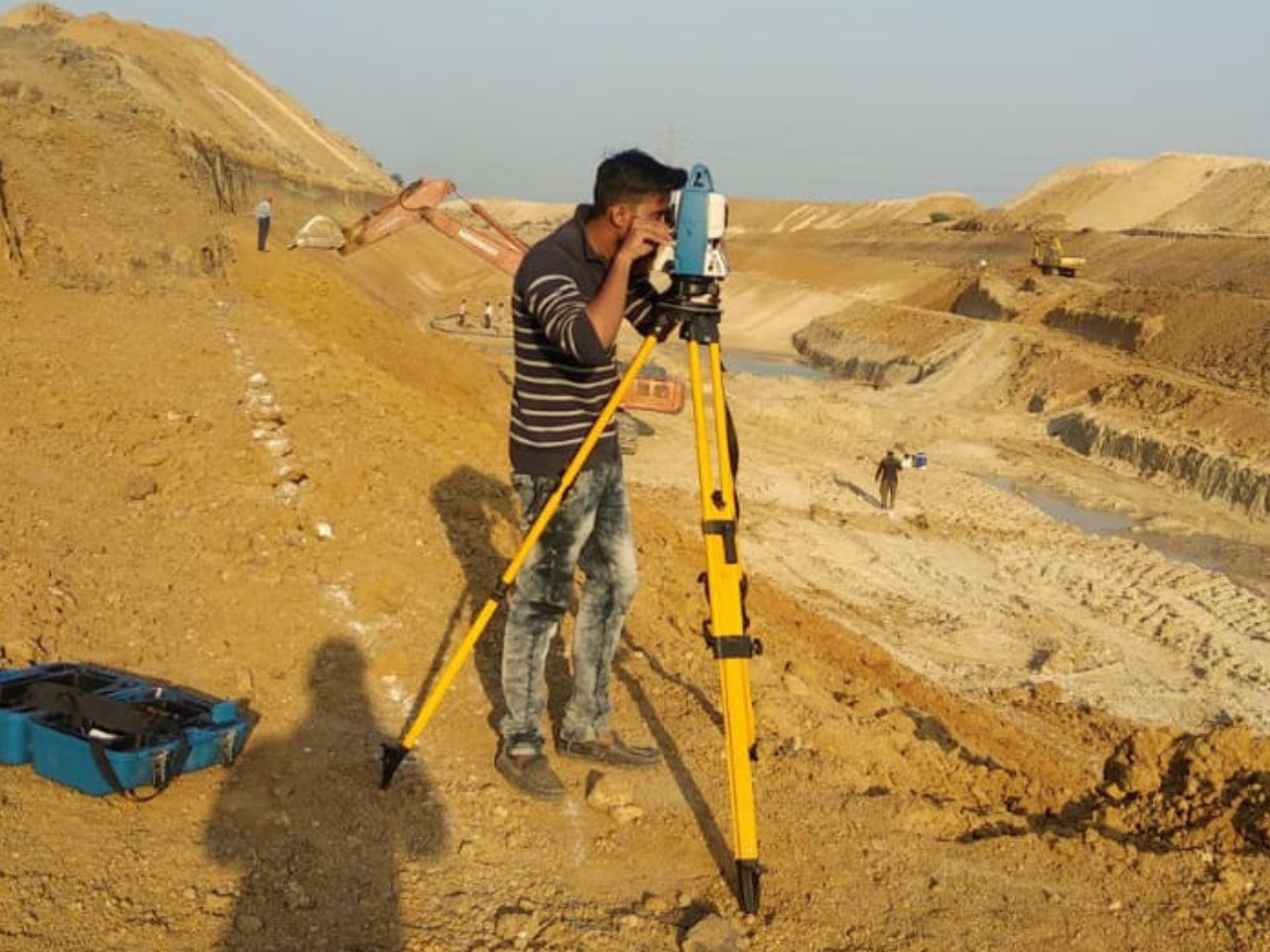
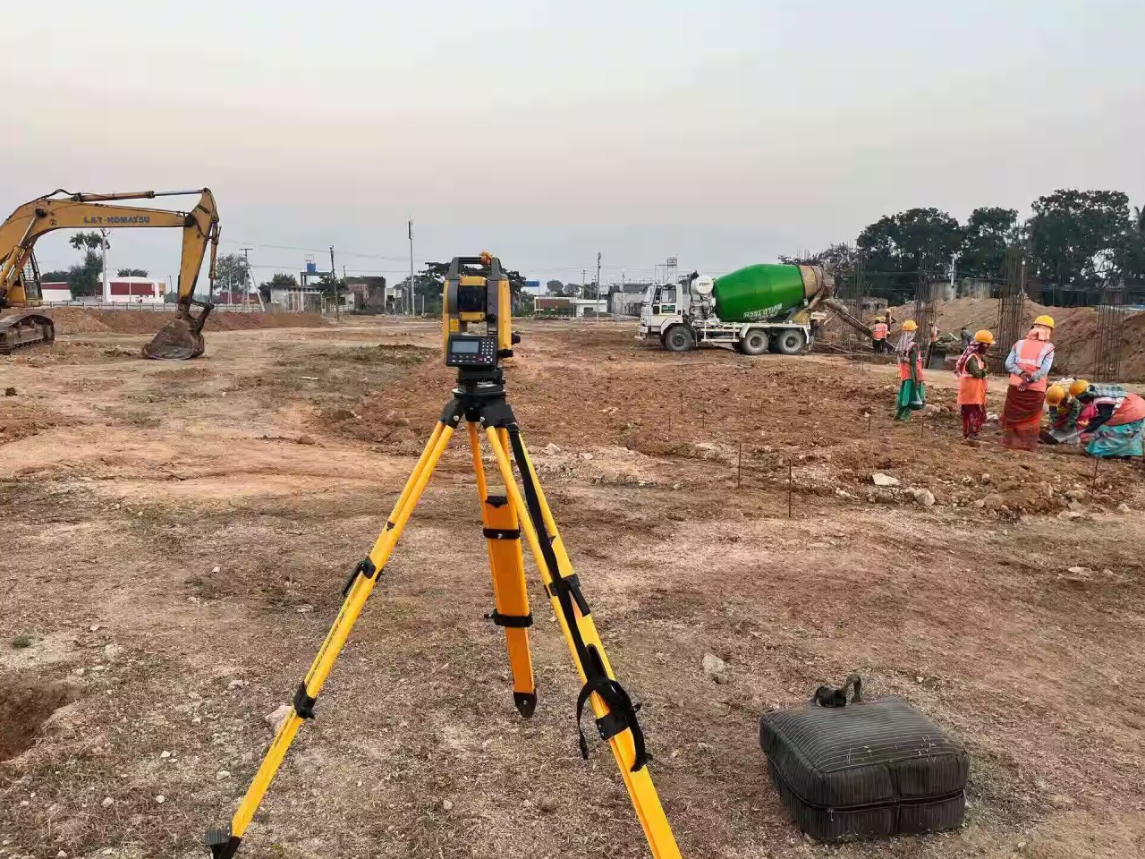
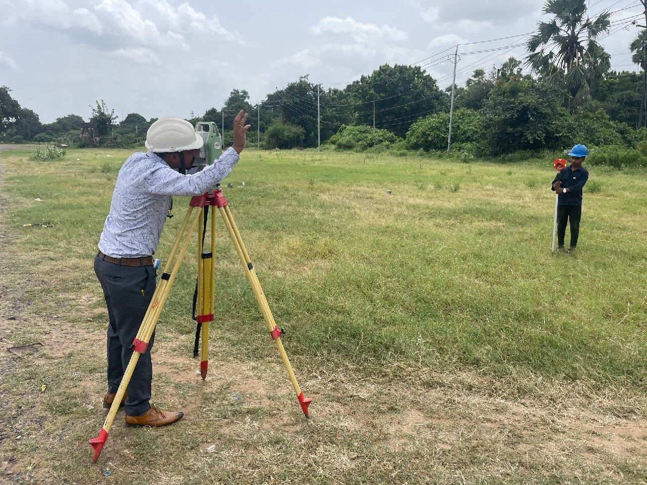
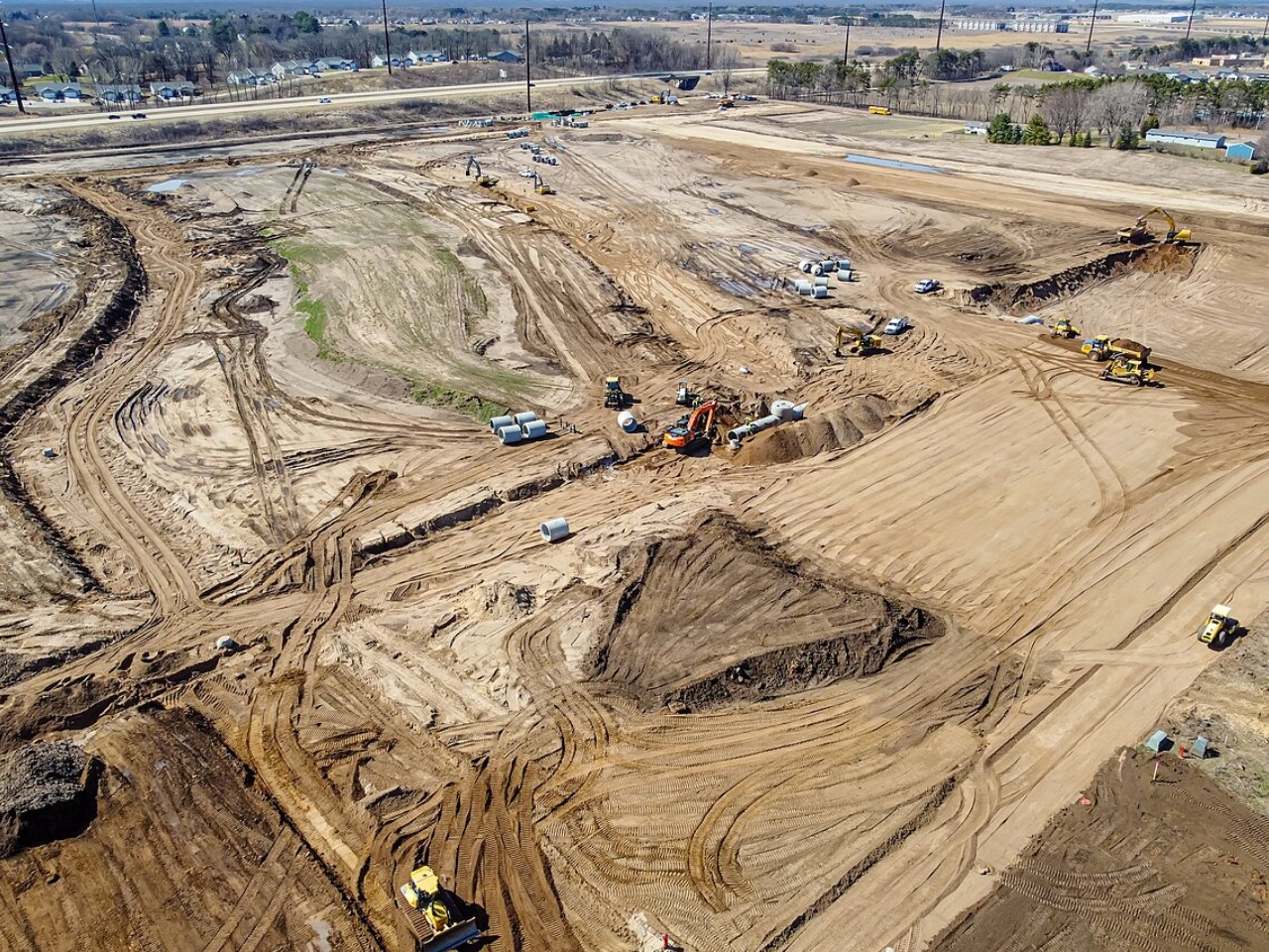
Land Survey and Development
Land development is the foundation of any successful construction project, and at Gurunath Infraa, we offer comprehensive land survey and development services using the latest technology and methodologies. From feasibility studies to on-ground execution, we handle every step with precision and professionalism.
Our services include topographical surveys, boundary demarcation, digital mapping, and utility layout planning. We use tools like GPS, total stations, drones, and GIS software to deliver high-accuracy data. This ensures our clients receive clear and actionable insights for land use planning, subdivision, and compliance.
Following the survey phase, we also manage the development of internal infrastructure such as roads, water supply systems, drainage, electrical layouts, and plot levelling. Our strong understanding of zoning regulations, land conversion policies, and municipal guidelines enables us to streamline approvals and execute development plans effectively.
Gurunath Infraa brings together civil engineers, planning experts, and field technicians to transform raw land into ready-to-build plots, adding significant value for investors, developers, and communities.